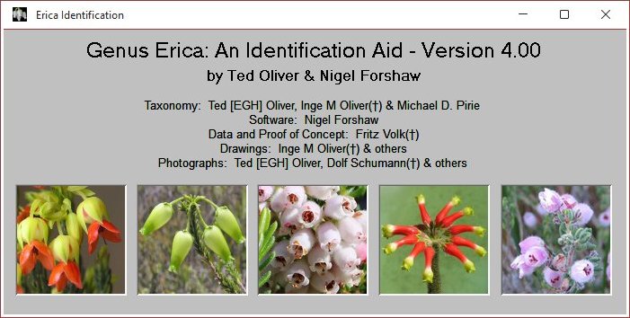
Genus Erica: An
Identification Aid (Version 4.03)
This is a computer package that is designed to help you
identify an Erica. The package:
- Is easy to use with online help that allows the
understanding of Erica characters.
- Assists in identifying Ericas, by entereing relevant
characters that describe the Erica. Characters in aiding
the identification may be set for a direct match or
probability to the Erica in question.
- Caters for Ericas of the world covering Europe, Africa
and Madagascar with the highlight being that of the Cape
Fynbos where most Erica species occur naturally.
- Contains an almost complete portfolio of many pictures
and drawings.
- Compares Ericas for similarities and/or
differences. The characters used for comparing
Ericas may be configured.
- Prints a species list for regions or a 25km x 25km grid
reference given the 1:50000 South African topographical
map name or grid reference. Species lists for all other
characters and combinations can be generated. This
is useful if you are visiting an area and would like to
know which Ericas occur there.
- Displays Precis distribution maps for Ericas on a 25km x 25km
grid using Google Earth as well as GBIF distribution maps using Google
Earth.
- Has a botanical reference to the literature for relevant
scientific publications.
- Provides links to World Flora Online, e-Flora and iNaturalist.
- Sorts Erica species by Species or Id number (modification
of Flora Capensis) or Schumann for quick access.
- Multiple photographs can be displayed for a species and
many more are available in this version, some from iNaturalist.
- Research Data that can be used by scientists has been added.

The aid runs on a Microsoft Windows platform only and is
available for download here.
October 2026

